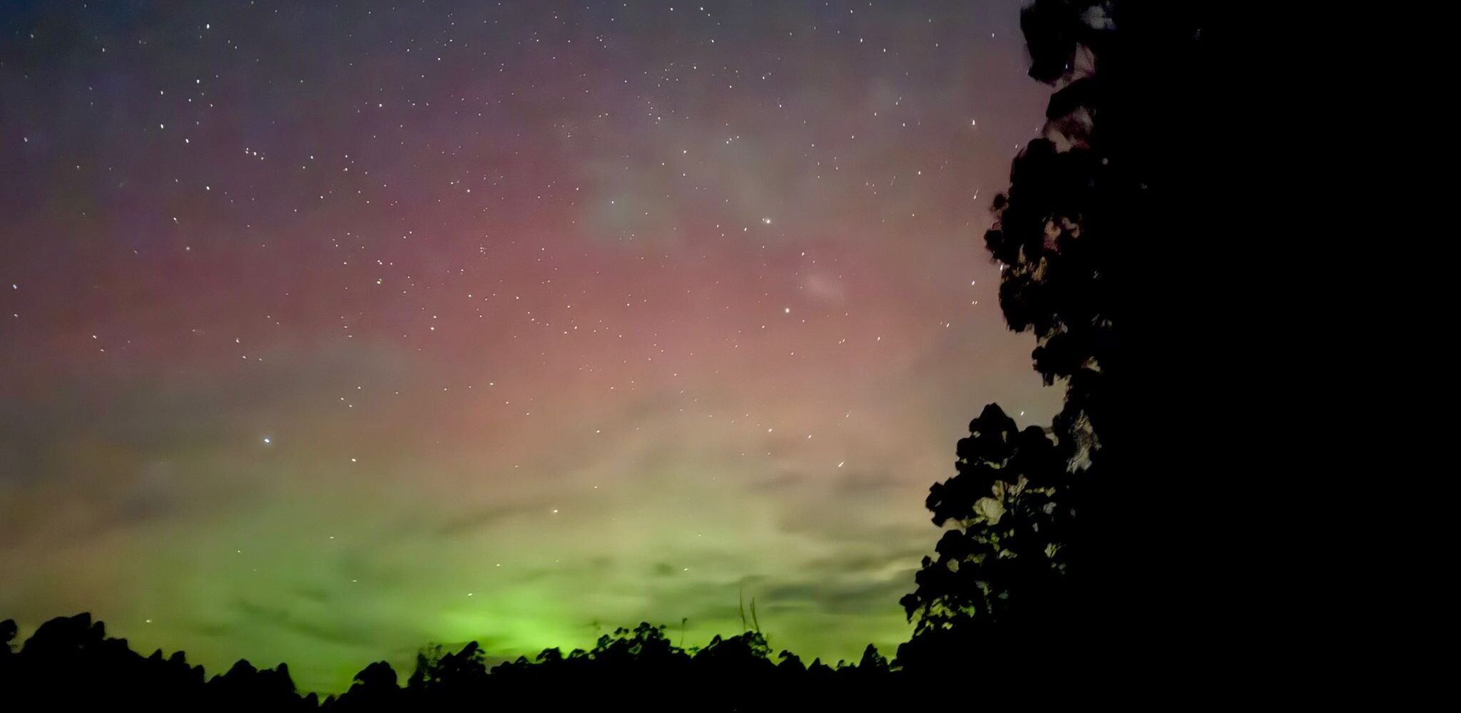
The Gathering Heat
How could El Niño impact Highcroft Hills in 2026/27?
0.8ºC. That doesn’t sound like much. But when you’re talking about average increases in surface temperature in the Eastern Pacific Ocean, 0.8 is an important number. It’s the Australian threshold for El Niño, the cyclical conditions that impact global weather patterns. And it often spells disaster.
As of mid-June, El Niño is in effect. And scientists predict that this one could be a so-called ‘super El Niño’, with average surface sea temperature in the Eastern Pacific potentially rising by more than 2ºC. Some are even suggesting this El Niño could become one of the strongest on record.
But what’s all the fuss about? And why should we, at Highcroft Hills, be worried about something happening thousands of kilometres away?
Nothing in nature works in isolation.
It’s all part of a big interconnected system. Warmer seas mean warmer air; warmer air can mean more rain or less rain, depending on where you are and a whole host of factors we won’t go into here. With El Niño, as warmer water pushes eastward the Trade Winds weaken and the Jet Stream moves southward. This strong, fast-flowing air has the power to control weather systems including storms, pressure patterns and rainfall, so any fluctuation in its normal movement can influence weather conditions across the world.
Historically, global air temperature increases by around 0.2ºC on average during a normal El Niño event – more so during a super El Niño. And let’s not forget that climate change has already pushed up the global average temperature by 1.25ºC since pre-industrial times. So, well, we’re potentially looking at extreme weather patterns heading our way.
El Niño has been a major contributing factor to many of Australia’s driest periods- periods that have been plagued by disastrous bushfires. Nine of the ten driest winter spring periods on record in eastern Australia occurred during El Niño years. For us in the Tasmanian Archipelago, the 2013 bushfires are never far from our minds when the temperature soars and forests turn tinderbox dry. That fire season stretched over a six month period, destroying hundreds of homes, hundreds of thousands of acres of land and causing almost AUS$100 million in damages. Not to mention the devastation wrought on the area’s wildlife, which is still trying to recover 13 years later. This disaster spawned from the perfect storm of El Niño, a record-warm Indian Ocean (caused by the Indian Ocean Dipole) and long-term climate change.
And seeing as we mentioned it, the Indian Ocean Dipole, sometimes referred to as the Indian El Niño, also affects sea surface temperature, but – as the name suggests – in the Indian Ocean. The bad news for Australia is that, like in the period preceding the 2013 Tasmanian bushfires, this has recently shifted into its so-called positive phase, which typically results in rain being pulled away from Australia.
So as far as Highcroft Hills is concerned, this could mean we’re in for a hot, dry summer.
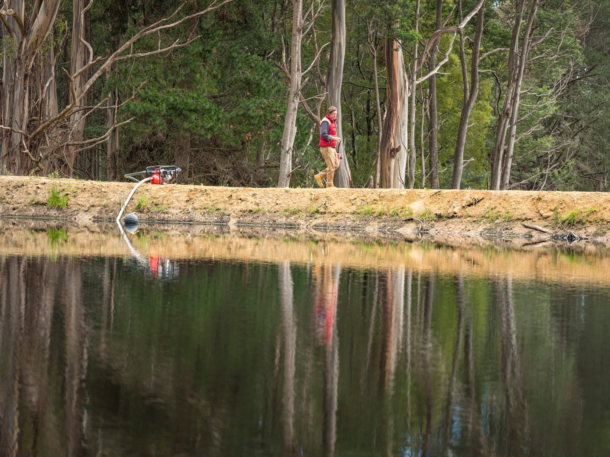
Right now though, we’re feeling positive. Our dams and aquifers are at capacity. Our rose plants are strong and healthy. And, let’s remember: there have been periods in Australia’s history where even strong El Niño events have had little to no impact on average weather patterns. But we are preparing. It’s better to be safe than sorry. Our bushfire plan is in place and we’ll be monitoring the situation closely. The rest is in nature’s hands.